Bookshelf
 Lying With Maps and Census Data
I was recently working on some examples for my book, Exploring the U.S. Census, where I discuss how census geography and maps can be used to intentionally skew research findings. I suddenly remembered Mark Monmonier’s classic How To Lie with Maps. I have the 2nd edition from 1996, and as I was adding it to my bibliography I wondered if there was a revised edition.
To my surprise, a 3rd edition was just published in 2018! This is an excellent book: it’s a fun and easy read that provides excellent insight into cartography and the representation of data with maps. There are concise and understandable explanations of classification, generalization, map projections and more with lots of great examples intended for map readers and creators alike. If you’ve never read it, I’d highly recommend it.
If you have read the previous edition and are thinking about getting the new one… I think the back cover’s tagline about being “fully updated for the digital age” is a little embellished. I found another reviewer who concurs that much of the content is similar to the previous edition. The last three chapters (about 30 pages) are new. One is devoted to web mapping and there is a nice explanation of tiling and the impact of scale and paid results on Google Maps. While the subject matter is pretty timeless, some more updated examples would have been welcome.
There are many to choose from. One of the examples I’m using in my book comes from a story the Washington Post uncovered in June 2017. Jared Kushner’s real estate company was proposing a new luxury tower development in downtown Jersey City, New Jersey, across the Hudson River from Manhattan. They applied for a program where they could obtain low interest federal financing if they built their development in an area where unemployment was higher than the national average. New Jersey state officials assisted them with creating a map of the development area, using American Community Survey (ACS) unemployment data at the census tract level to prove that the development qualified for the program.
The creation of this development area defies all logical and reasonable criteria. This affluent part of the city consists of high-rise office buildings, residential towers, and historic brownstones that have been refurbished. The census tract where the development is located is not combined with adjacent tracts to form a compact and contiguous area that functions as a unit, nor does it include surrounding tracts that have similar socio-economic characteristics. The development area does not conform to any local conventions as to what the neighborhoods in Jersey City are based on architecture, land use, demographics, or physical boundaries like major roadways and green space.

Census tracts that represent the “area” around a proposed real estate development were selected to concentrate the unemployed population, so the project could qualify for low interest federal loans.
Instead, the area was drawn with the specific purpose of concentrating the city’s unemployed population in order to qualify for the financing. The tract where the development is located has low unemployment, just like the tracts around it (that are excluded). It is connected to areas of high unemployment, not by a boundary, but by a single point where it touches another tract diagonally across a busy intersection. The rest of the tracts included in this area have the highest concentration of unemployment and poverty in the city, and consists primarily of low-rise residential buildings, many of which are in poor condition. This area stretches over four miles away from the development site and cuts across several hard physical boundaries, such as an interstate highway that effectively separates neighborhoods from each other.
The differences between this development area and the actual area adjacent but excluded from the project couldn’t be more stark. Gerrymandering usually refers to the manipulation of political and voting district boundaries, but can also be used in other contexts. This is a perfect example of non-political gerrymandering, where areas are created based on limited criteria in order to satisfy a predefined outcome. These areas have no real meaning beyond this purpose, as they don’t function as real places that have shared characteristics, compact and contiguous boundaries, or a social structure that would bind them together.
The maps in the Post article highlighted the tracts that defined the proposal area and displayed their unemployment rate. In my example I illustrate the rate for all the tracts in the city so you can clearly see the contrast between the areas that are included and excluded. What goes unmentioned here is that these census ACS estimates have moderate to high margins of error that muddy the picture even further. Indeed, there are countless ways to lie with maps!
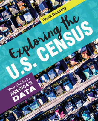
Frank Donnelly’s new book, Exploring the US Census: Your Guide to America’s Data, aims to give social science students and researchers alike the tools to understand, extract, process, and analyze data from the decennial census, the American Community Survey, and other data collected by the U.S. Census Bureau.